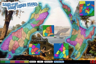
A Luxer called Philip Lyth, from New Zealand, sent me a 'Thankyou' email for a couple of my other maps, so I was inspired to make one for the 'Land of the Long White Cloud'. But after about 3 attempts I still wasn't sure what era to base it on! So with a bit of modern satellite terrain, some notes of Captain Cook's, and borders that are a mix of modern electoral boundaries, Maori tribal boundaries, and just plain made up ones, plus a few inset enlargements because everyone just loves them(!), here it is! With all these mixed elements in the map it shouldn't work, but somehow it does - which sums up modern New Zealand society perfectly. Enjoy.

No comments:
Post a Comment